UN
7 Military Road
£ 230,000
Description
We don't have a Description for this property.
- Bedrooms
- 3
- Bathrooms
- 0
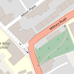
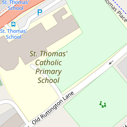
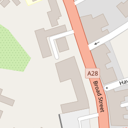
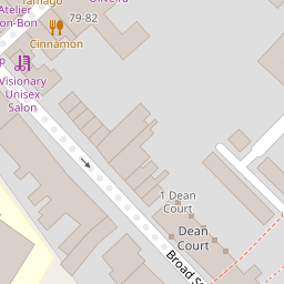
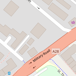
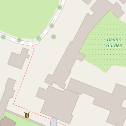
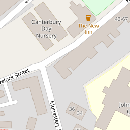

Leaflet © OpenStreetMap contributors
The heatmap indicates the level of crime in the area. The color of the heatmap indicates the crime severity and recency.
Metrics Year-on-Year
- Average area value
- 183,456.00 £Increased by 10.92 %
- Average area rental value
- 818.00 £/moDecreased by 2.27 %
- Est rental Yield
- 5.35 %Decreased by 11.86 %
- Crime Rate
- 9.00 %Unchanged by 0.00 %
from 165,395.00 £
from 837.00 £/mo
from 6.07 %
from 9.00 %
Nearby Schools
| Name | Type | Ofsted | Distance |
|---|---|---|---|
| St Thomas' Catholic Primary School, Canterbury | Voluntary Aided School | Outstanding | 0.08 KM |
| The King'S School Canterbury | Other Independent School | 0.20 KM | |
| Canterbury Christ Church University | Higher Education Institutions | 0.43 KM | |
| St Johns Church Of England Primary School | Voluntary Controlled School | Good | 0.44 KM |
| Riverside Children'S Centre (Canterbury) | Children's Centre | 0.51 KM |
Images
Nearby Streets
| Name | Average Price | Average Sqft | Distance |
|---|---|---|---|
| Riverside | £ 121,250 | 0 | 0.00 KM |
| Canterbury Lane | £ 310,000 | 0 | 0.00 KM |
| Duck Lane | £ 90,000 | 0 | 0.00 KM |
| Chaucer Road | £ 0 | 0 | 0.00 KM |
| The Causeway | £ 97,375 | 0 | 0.00 KM |
Nearby Transport
| Name | NLC | TLC | Distance |
|---|---|---|---|
| Canterbury West | 5007 | CBW | 1.22 KM |
| Canterbury East | 5164 | CBE | 1.38 KM |
| Sturry | 5029 | STU | 4.56 KM |
| Bekesbourne | 5198 | BKS | 6.04 KM |
| Chartham | 5008 | CRT | 7.99 KM |
Nearby Listings
| Address | Price | Type | Score | Distance |
|---|---|---|---|---|
| Albion Place, Canterbury | £ 350,000 | BUY | 7 / 10 | 0.04 KM |
| Albion Place, Canterbury, Kent, CT1 | £ 235,000 | BUY | 5 / 10 | 0.04 KM |
| High Street St. Gregorys, Canterbury, Kent, CT1 | £ 199,950 | BUY | 7 / 10 | 0.14 KM |
| Broad Street, Canterbury | £ 425,000 | BUY | Unknown | 0.14 KM |
| Victoria Yard, Canterbury | £ 200,000 | BUY | 6 / 10 | 0.16 KM |
Nearby Properties
| Address | Price | Distance |
|---|---|---|
| 3 Military Road | £ 165,000 | 0.00 KM |
| 14 Military Road | £ 138,000 | 0.00 KM |
| 9 Military Road | £ 242,000 | 0.00 KM |
| 4 Military Road | £ 215,000 | 0.00 KM |
| 5 Military Road | £ 181,000 | 0.00 KM |